
Commercial Drone Services
Aerial Services for your property or business
Surveying
Drone Services can map and survey property over a wide area using LIDAR and Photogrammetry. By stitching together multiple flyovers, we can build 3D maps of terrain, buildings, and property. Our team uses the latest in Enterprise Dones from DJI with mechanical shutters.

Construction Monitoring and Evaluation
Evaluate remotely and safely with a 360 degree arial job site view. Contact us to to discuss what level and cadence of service is right for your job site.

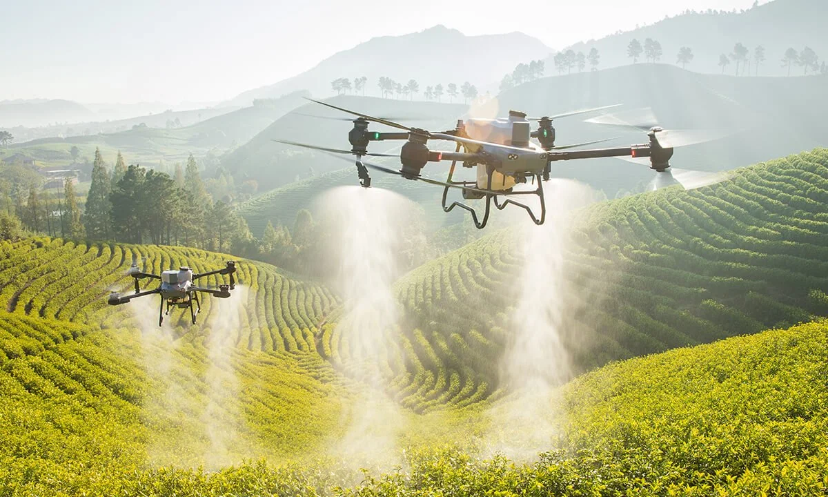
Agriculture
Replace expensive single prop planes with faster and more flexible UAS sprayers. Drone crop fertilization allows proprietors to fine tune time, duration, and cadence - resulting in reduced expenses and higher yields.
Contact us.
sales@gray-kite.com
Pacific Coast, USA